The Formation of Mt. Myogi
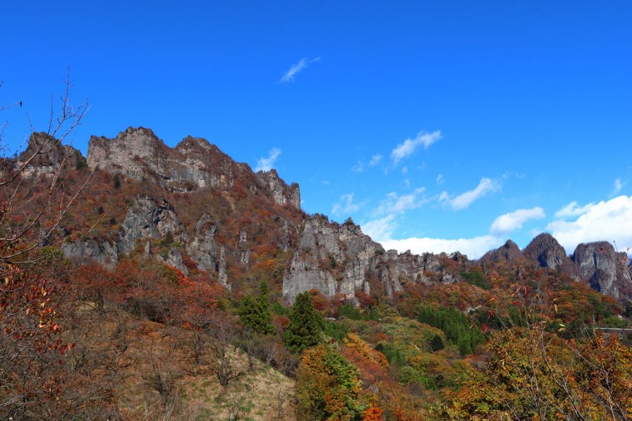
The volcanic activity that formed Mt. Myogi began around six million years ago. By comparison, volcanic activity associated with Mt. Fuji began around 400,000 years ago, making Mt. Myogi much older.
Volcanoes generally become inactive after a long period of volcanic activity. While Mt. Fuji remains an active volcano today, volcanic activity at Mt. Myogi ended millions of years ago.
Over the immense span of time since then, wind and rain have gradually eroded the mountain, creating the dramatic rock formations and rugged landscape we see today. Mt. Myogi is now known as one of Japan’s three most remarkable scenic landscapes.
Before millions of years of erosion reshaped it, Mt. Myogi may have looked very different from the mountain we know today. However, many details of its geological history are still not fully understood.
The mountain’s unusual rock formations and the processes that created its distinctive landscape continue to make Mt. Myogi a fascinating place to explore.
About Mt. Myogi
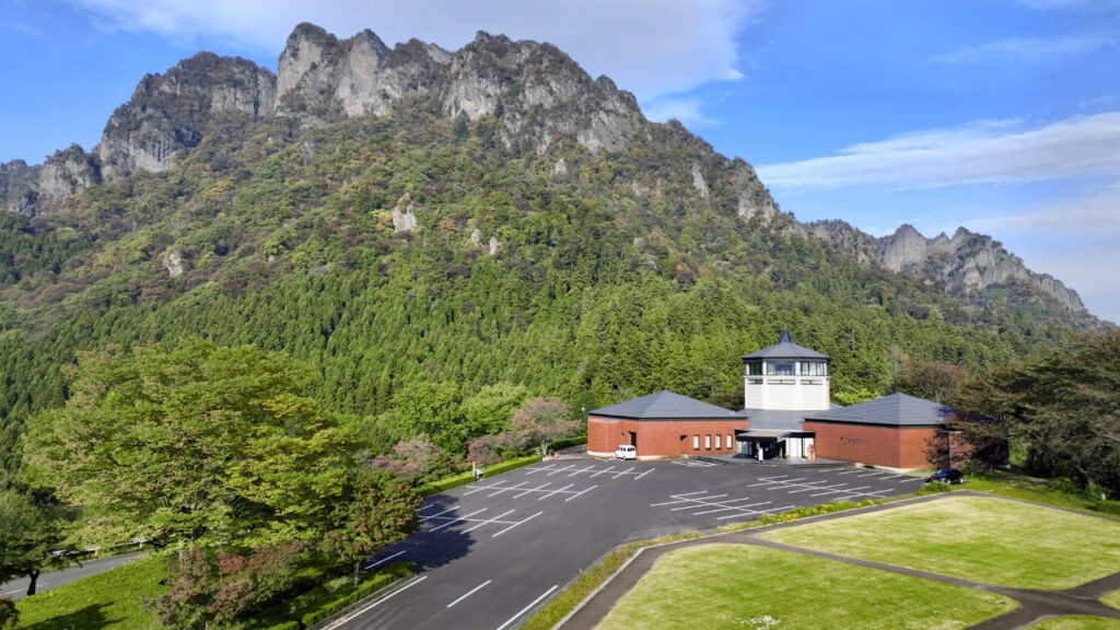
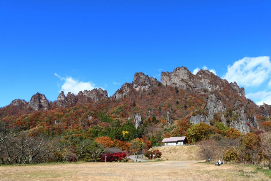
Mt. Myogi was formed through volcanic activity that continued until around three million years ago. The mountain consists mainly of lava, tuff, and conglomerate. Over time, erosion removed the surrounding layers of rock, exposing the harder volcanic formations that create its distinctive appearance today.
Myogi Shrine stands on the mountainside beneath Mt. Hakuun, which has long been revered as a sacred mountain. During the Edo period, the shrine was believed to offer protection from fire and lightning. Today, the historic shrine and the mountain’s towering rocky peaks create a dramatic landscape that attracts visitors throughout the year.
Mt. Myogi stretches across Annaka, Tomioka, and Shimonita in Gunma Prefecture. Together with Mt. Akagi and Mt. Haruna, it is one of the Three Mountains of Jomo, and it has also been revered as a sacred mountain since ancient times.
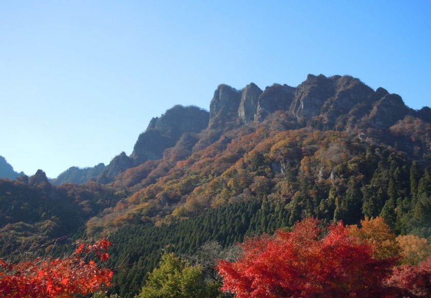
The highest point is Soma-dake on Mt. Hakuun at 1,104 meters, while Higashi-dake on Mt. Kondo reaches 1,094 meters. From cherry blossoms in spring to colorful foliage in autumn, Mt. Myogi offers beautiful seasonal scenery throughout the year.
Access to Mt. Myogi
The two main gateways to Mt. Myogi are Nakanotake Shrine and Myogi Shrine.
By Public Transportation from the Tokyo Area
Via JR Yokokawa Station
Take the Shinkansen to Takasaki Station, transfer to the JR Shin-etsu Main Line, and get off at Yokokawa Station. From there, it is approximately 25 minutes by taxi to Myogi Shrine.
Via Shimonita Station
Take the Shinkansen to Takasaki Station, transfer to the Joshin Railway, and get off at Shimonita Station. Take a local bus to Nakamura, then walk for approximately 60 minutes. Taxis are also available.
From within Gunma Prefecture
From Tomioka
Approximately 30 minutes by shared taxi from Joshu-Tomioka Station to Myogi Shrine.
From JR Yokokawa Station
Approximately 30 minutes by taxi to Myogi Shrine.
Via the Joshin Railway
Take a local bus to Nakamura, then walk for approximately 60 minutes. Taxis are also available.
By car
From Fujioka JCT on the Kan-Etsu Expressway, take the Joshin-Etsu Expressway and exit at either Shimonita IC or Matsuida-Myogi IC. Mt. Myogi is approximately 25 minutes from either interchange.
From Karuizawa
A taxi from Karuizawa Station costs approximately ¥10,000–¥12,000 per vehicle. Please contact the taxi company for current fares.
Alternatively, take a JR bus from Karuizawa Station to Yokokawa Station (approximately 45 minutes), then take a taxi from Yokokawa. The taxi fare is approximately ¥5,000–¥7,000 per vehicle.
Weather around Mt. Myogi and Shimonita
The area has an average annual temperature of approximately 12.1°C and annual precipitation of approximately 1,546 mm. Snowfall is relatively infrequent, generally occurring only a few times each year.
https://ja.climate-data.org/アシア/日本/群馬県/ Shimoniida-cho-54030/
Mt. Myogi Sightseeing Spot
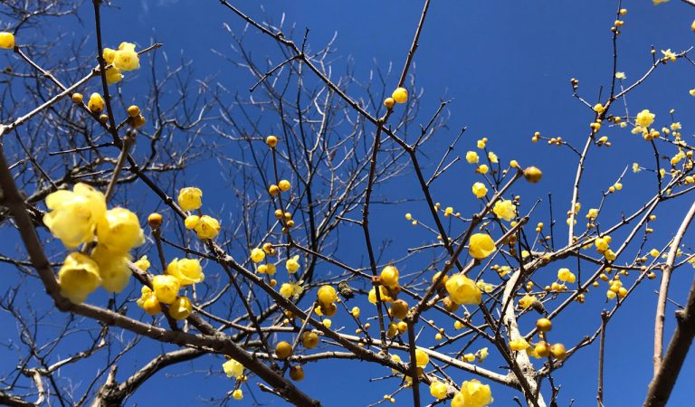
Abuta Fukujusō Park
At the foot of Mt. Myogi, local volunteers have transformed former rice fields on the mountain slope...
View Details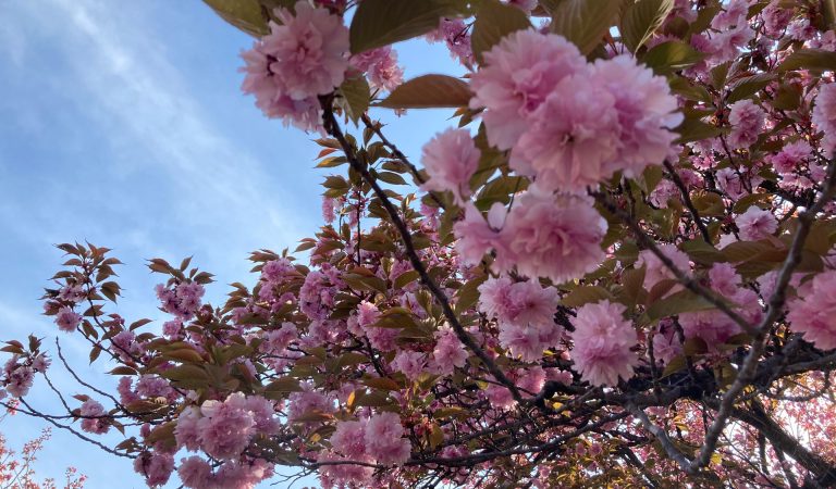
Prefectural Forest Park – Sakura no Sato
Surrounded by birdsong and the spectacular scenery of Mt. Myogi, Sakura no Sato Prefectural Forest P...
View Details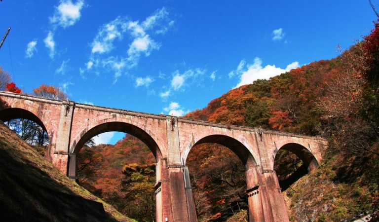
Megane Bridge
Known as Megane Bridge, the Usui No. 3 Bridge is Japan’s largest brick arch bridge. The impressive f...
View Details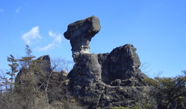
Mt. Myogi Chukando Trail & Stone Gates
Mt. Myogi, located within Myogi-Arafune-Saku Kogen Quasi-National Park on the border of Gunma and Na...
View Details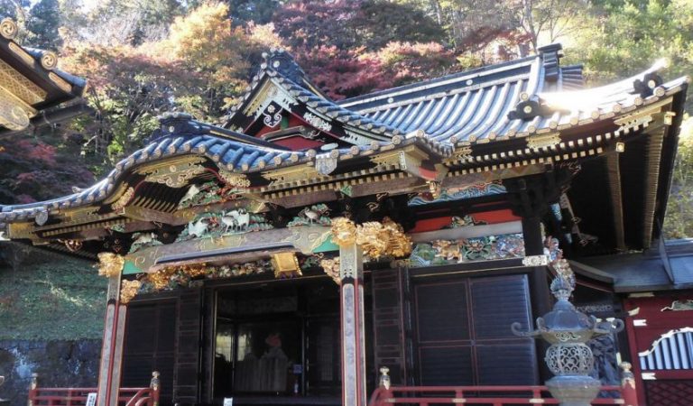
Myogi Shrine
Myogi Shrine is located at the eastern foot of Mt. Hakuun, the main peak of Mt. Myogi, a mountain fa...
View Details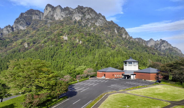
Myogi Mountain Panorama Park
Located at the foot of Mt. Myogi, one of Japan’s most celebrated scenic landscapes, Mt. Myogi Panora...
View Details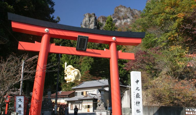
Nakanotake Shrine
Nakanotake Shrine has a long history dating back to the 6th century. According to shrine tradition, ...
View Details