Hiking Mt. Ozawa
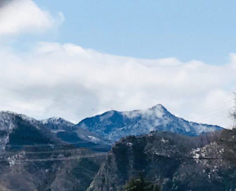
With its sharply pointed peak resembling the tip of a spear, Mt. Ozawa is sometimes called the “Matterhorn of Nishi-Joshu.” Despite its rugged appearance, the trail has relatively few steep sections and makes for an enjoyable hike.
Follow the ridge trail for about 50 minutes. After a short descent, the trail climbs again toward the summit. The final ascent just below the summit is steep, so watch your footing.
From the summit, a magnificent panorama opens up across the surrounding mountains, including Mt. Myogi, Mt. Arafune, Mt. Asama, Mt. Tateiwa, the Yatsugatake Mountains, and Mt. Inafukumi, as well as the mountains of Nishi-Joshu and those along the border between Gunma and Nagano prefectures.
A seated statue of Dainichi Nyorai and small stone shrines stand at the summit, reflecting the mountain’s long history as a place of mountain worship.
Suggested Itinerary (Including rest breaks)
Depart Takasaki Station on the Joshin Dentetsu Railway
Arrive at Shimonita Station
Depart Shimonita Station on the Shimonita Town Bus Aokura Line
Approx. 25 min.
Arrive at Bozubuchi bus stop
Approx. 105 min.
Arrive at the trailhead sign
Approx. 50 min.
Arrive at the summit
Depart the summit
Approx. 95 min.
Depart Bozubuchi bus stop on the Shimonita Town Bus Aokura Line
Approx. 25 min.
1Arrive at Shimonita Station
Depart Shimonita Station on the Joshin Dentetsu Railway
Arrive at Takasaki Station
* This suggested itinerary is based on the weekend and public holiday bus schedule.
* Walking times and public transportation times shown above are approximate.
* Transportation schedules and services are subject to change. Please check the latest information before your trip.
Information
https://www.town.shimonita.lg.jp/shimonita-bus/20170404110712.html
※Please check the timetable for the Aokura Line.(Japanese language ONLY)